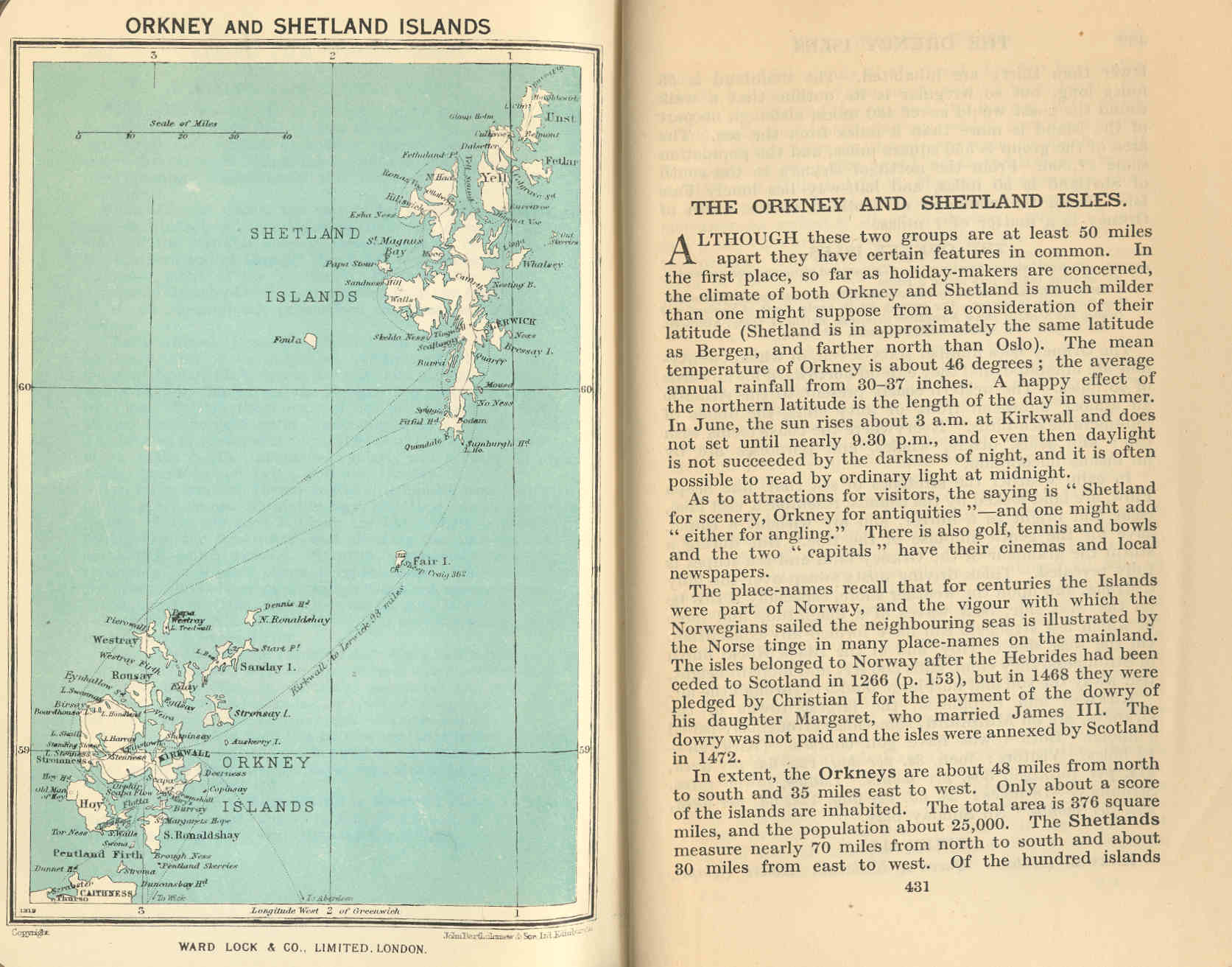
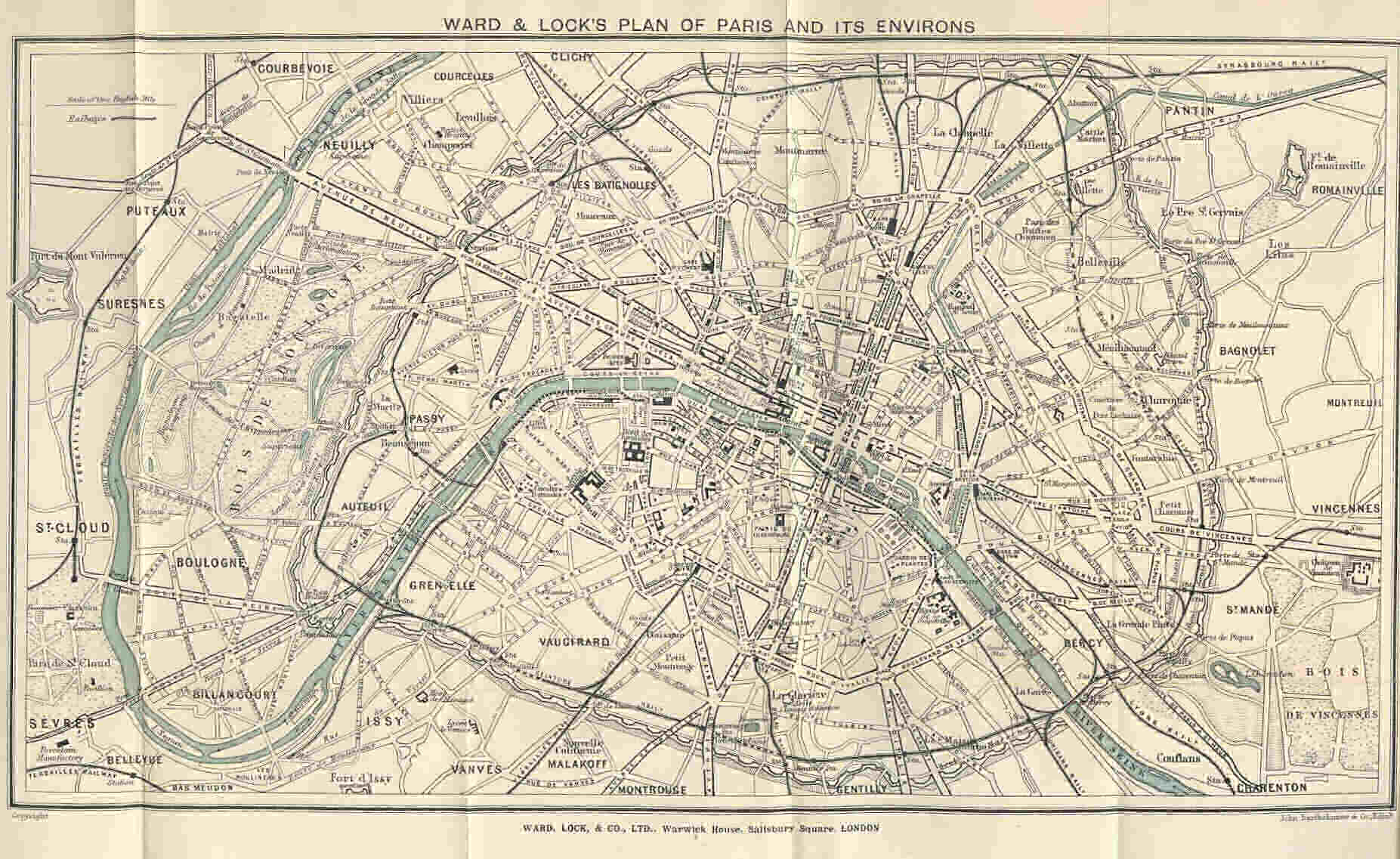
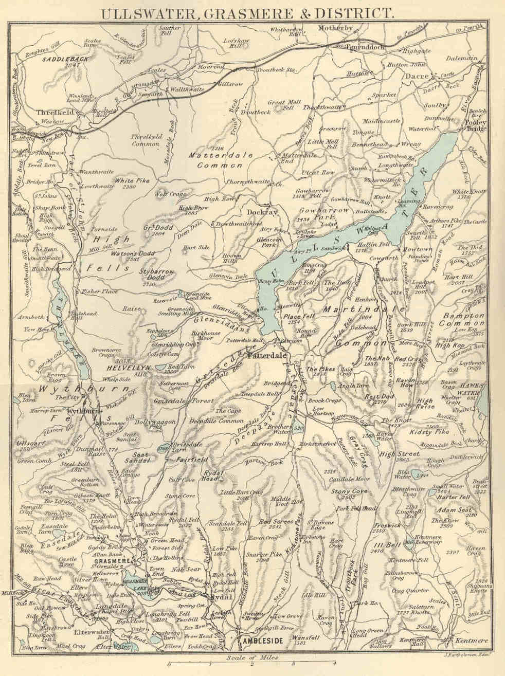
  %20map_small.jpg) 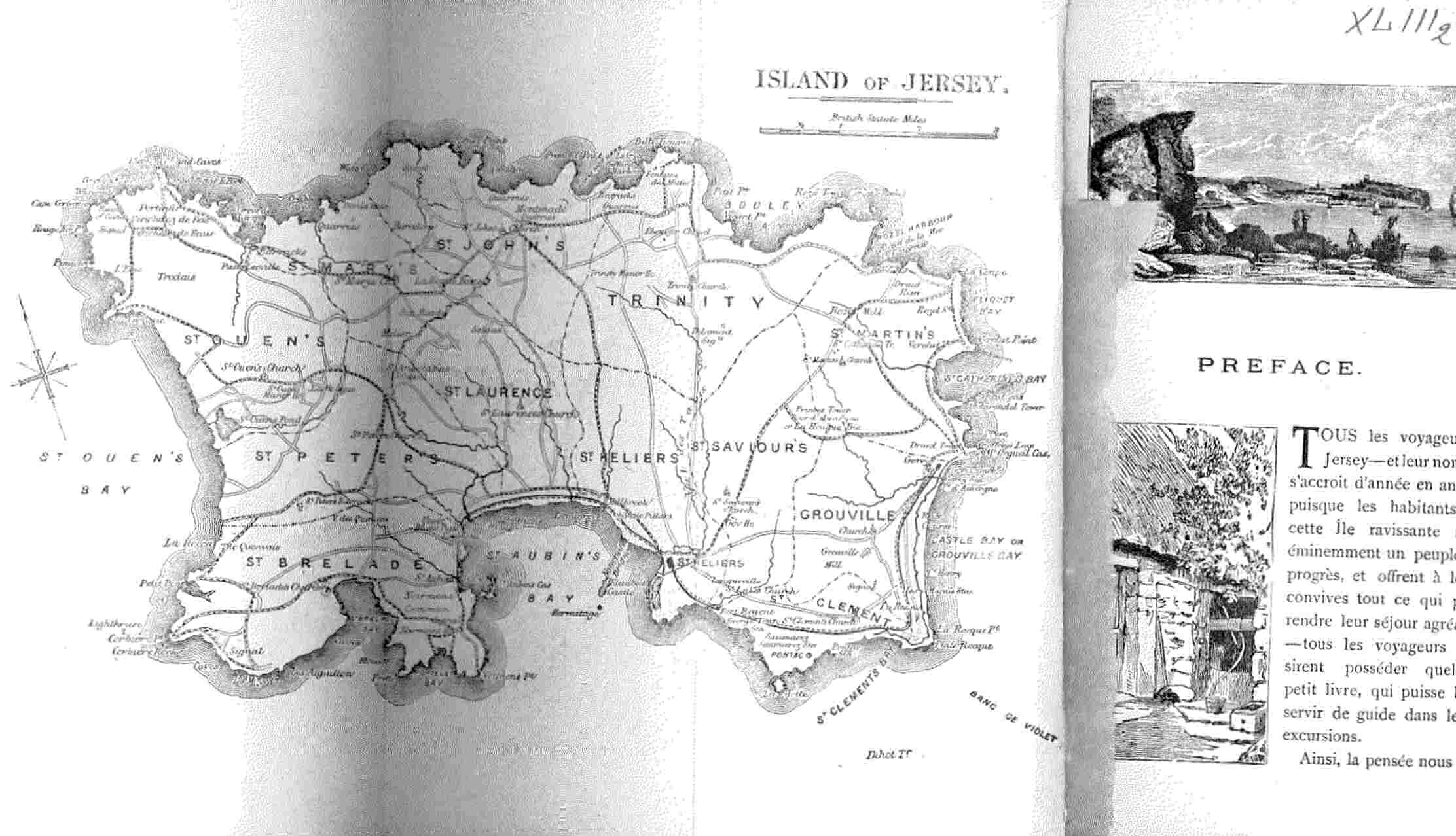 .jpg) 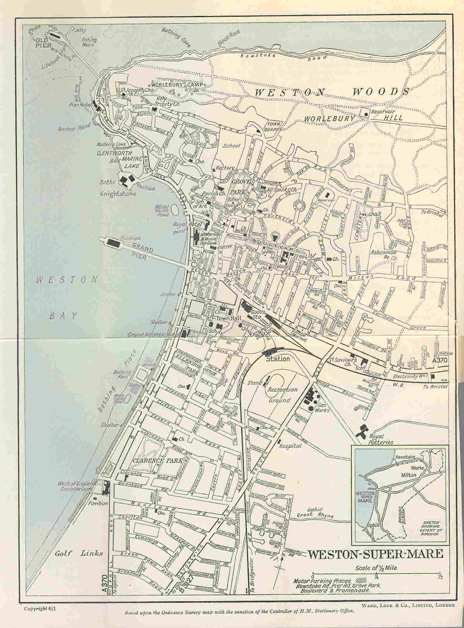 |
Sample MapsThe Red Guides were well known and popular for their pull-out maps, which are fixed between pages in context. Many other maps and illustrations are included as single or double page sized entries. Some examples follow, and at left, with links to view the pages. We have now separated out the Railway Maps, including London Undergound .
|
|---|